

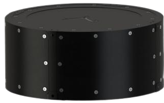
IS-220 -Mining Inertial Navigation System
The IS-220 Tracking Measuring Instrument adopts a combination of a three-axis gyroscope and a three-axis accelerometer, forming a specialized compact inertial measurement system. It offers advantages such as small diameter, short length, and light weight, making it highly suitable for positioning and orientation measurement within narrow-diameter pipelines. It serves as the core component for attitude measurement in the tracing measurement system. Utilizing a proprietary fusion algorithm, the tracing measurement system can accurately measure the trajectory of a fixed carrier and present it as a 3D map within the drone interface. Through simple operation, users can conveniently obtain continuous 3D survey maps of deep hole trajectories. Consequently, this system is ideally suited for application fields such as geophysical exploration in working face deep holes and pipeline/tunnel tracing measurement, significantly reducing the cost of deep hole geophysical exploration.
 Save to Favorites
Overview
Datasheet
Supplier Information
Related Products
-
 Three-axis FOG AF-3090
Defense & Aerospace
Sgfusionchip
Turn-on Time: ≤5 s Dynamic Range: -300~+300 Bias Stability [1σ,100s]: ≤0.005 °/h
The three-axis closed-loop fiber optic gyroscope assembly is used to measure angular rates about three axes relative to inertial space.
-
 Compact free-space optical circulator
Defense & Aerospace
Optoxuhai
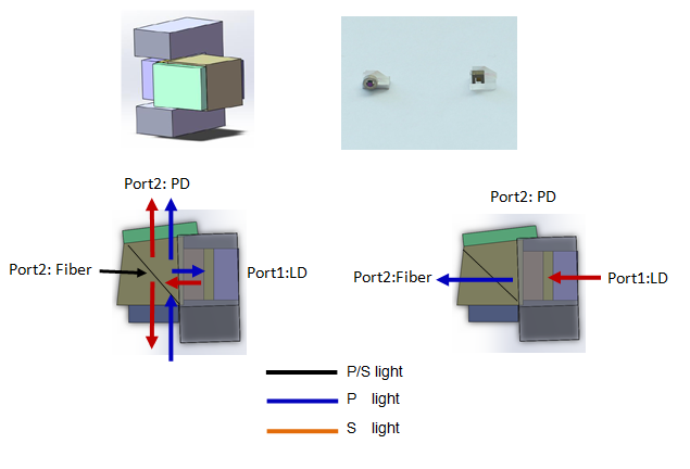
Xuhai Optoelectronics uses innovative nano-optics to provide a free-space optical circulator within 2mmx2.5mmx3.5mm. Outgoing laser light couples through the circulator into a common fiber, while incoming light couples from that fiber to a photodetector. It fits standard BiDi BOSA housings without increasing the volume of existing single-fiber bidirectional modules. Low insertion loss (<0.5dB) and high isolation (>40dB) support same-wavelength single-fiber bidirectional transmission, OTDR and laser ranging. Its loopback functionality is particularly suitable for these applications. Traditional pigtail circulators or splitters have limitations: 1. Ordinary circulators are bulky and contain many components, making integration and assembly difficult. 2. Splitter alternatives have high insertion loss (6dB). 3. Finisar's extensive patent protection makes conventional optical designs difficult to implement without infringement. Xuhai's patented free-space circulator addresses these limitations and offers the following features.
-
 Integrated free-space circulator
Defense & Aerospace
Optoxuhai
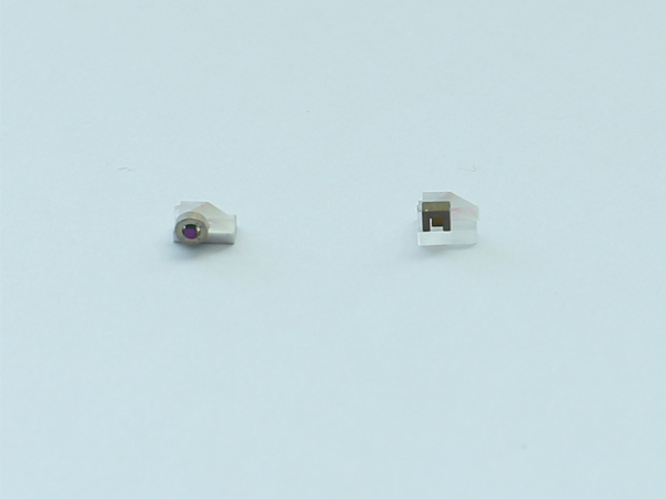
Insertion loss ( Port 1->2) IL12: max:0.7 dB Insertion loss ( Port 2->3) IL23: max:0.75 dB Crosstalk ( Port 1->3) XT [@ IL12+IL23≤4.5dB]: min:40 dB
The Optoxuhai integrated free-space circulator uses distinctive nanomaterial technology to provide ultracompact size, excellent optical performance, and a simple optical structure. It offers stable performance, reliability, and good cost effectiveness.
-
 1064nm Collimated-beam-output isolator
Defense & Aerospace
Szsbksgdkjyxgs
Center Wavelength [Operating wavelength range : ±10 nm / Rated output beam diameter : 8±1 mm]: 1064 nm Center Wavelength [Operating wavelength range : ±5 nm / Rated output beam diameter : 3±1 mm]: 1064 nm Operating wavelength Range [Rated output beam diameter : 8±1 mm]: ±10 nm
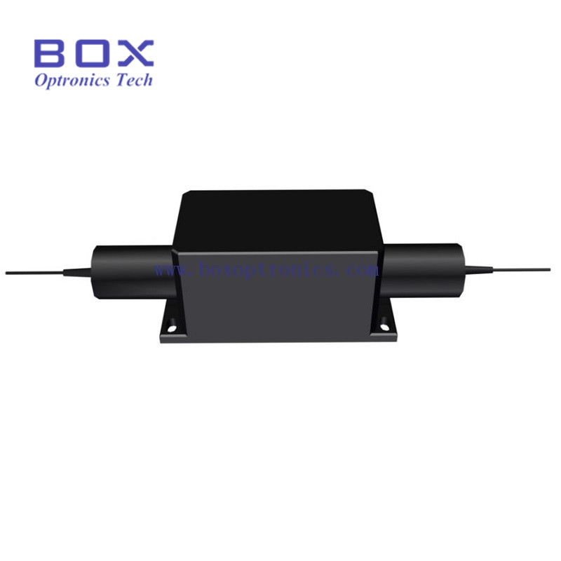
The high-power isolator with collimated beam output is an isolator with fiber input and free-space output. An isolator is an optical device that allows light to travel in only one direction. It is most commonly used to prevent reflected light from entering a light source and is widely used in fiber lasers.
-
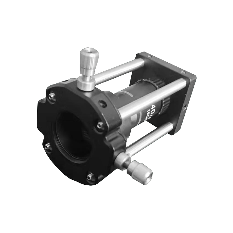 Spatial filter
Defense & Aerospace
Startin-optronics
This assembly expands and spatially filters an incident collimated laser beam, significantly improving spot quality by removing higher-order spot components to produce a uniform, clean beam.
Related Articles
Medical disposable‑device manufacturers have long demanded high‑performance interconnect accessories for single‑use equipment. The newly‑launched REDEL‑P disposable‑connector family addresses this requirement and delivers premium‑grade electrical connections for varied one‑time‑use medical instruments.
A microlens array (MLA) is a high-precision optical component composed of hundreds or thousands of tiny, uniformly arranged micro lenses on a single flat substrate. Unlike traditional single lenses that focus one light beam, a microlens array can split, homogenize, and reshape light on a micro scale. It is widely paired with VCSELs, lasers, and image sensors, becoming a core part of modern miniature optical systems.
BEIJING JIEPU TREND supplies YAG+Er:YAG+YAG bonded composite slab laser crystals for high‑power solid‑state laser systems. The monolithic slab consists of two undoped YAG end‑cap layers and a central Er‑doped YAG gain segment. The overall dimension is 9 mm×9 mm×9 mm.
Driven by the rapid upgrading of industrial automation, high-precision displacement sensing technology has become a core foundation of intelligent manufacturing.
Loading...
Name
Phone
Organization
Use Case

Database Platform